
Sold
0 State Highway 67, Buller Road,
Westport, Buller District
Price withheld
Property details
-
Agents
Ray White Westport: Excalibre Real Estate Westport Limited
196 Palmerston Street, Westport Buller District 7825
-
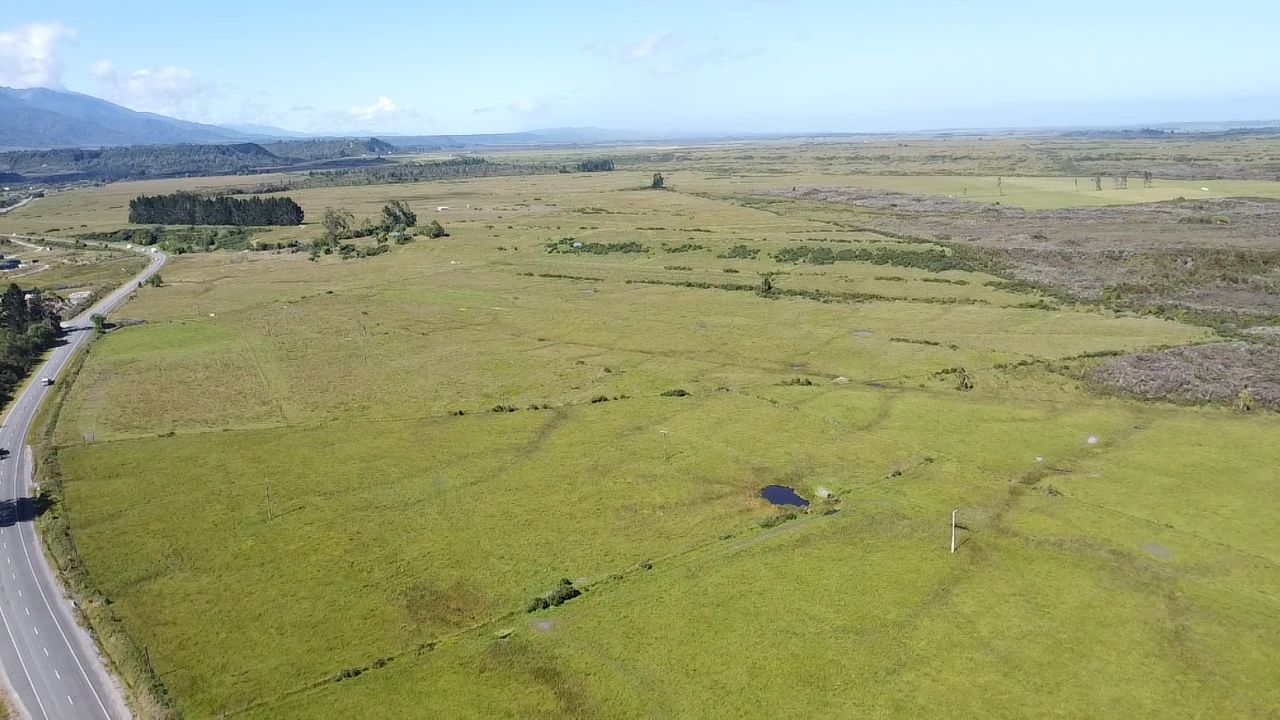
GENUINE DEVELOPMENT POTENTIAL Approx 117 ha
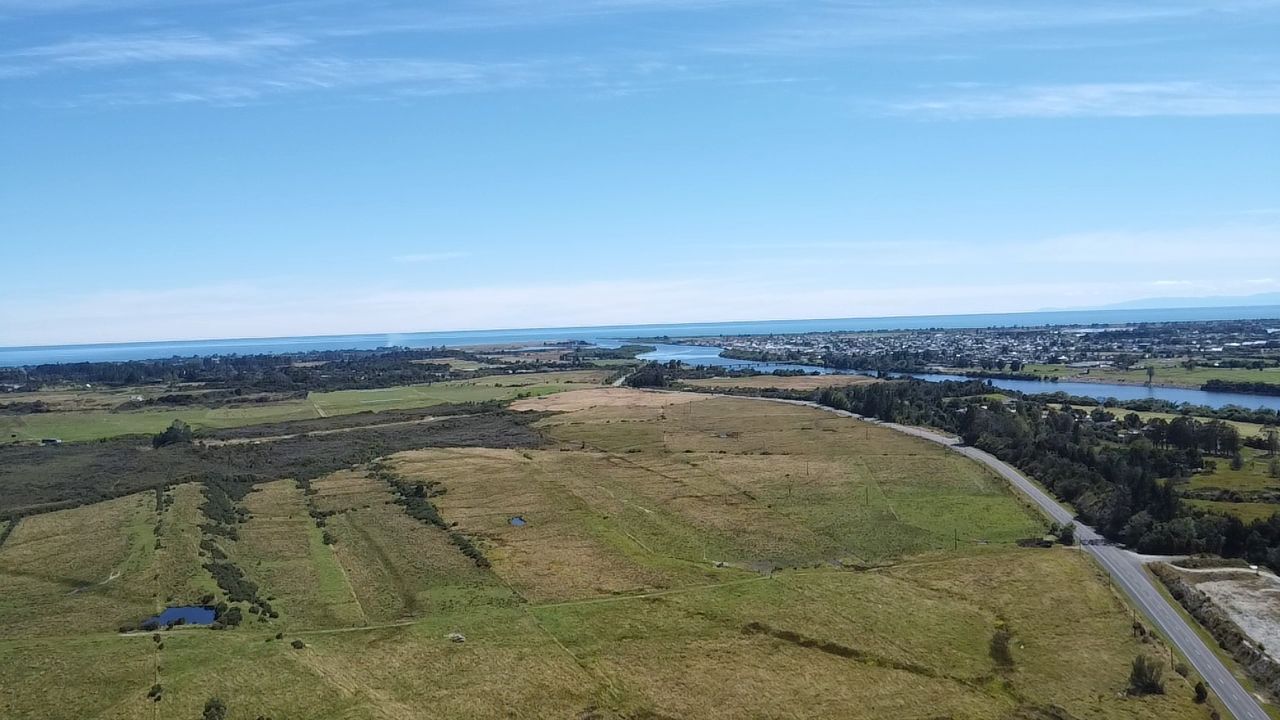
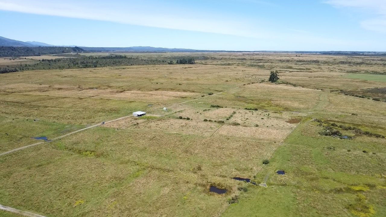
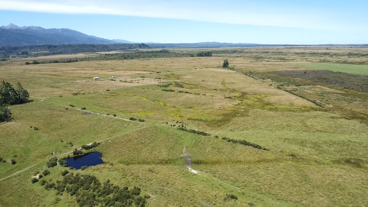
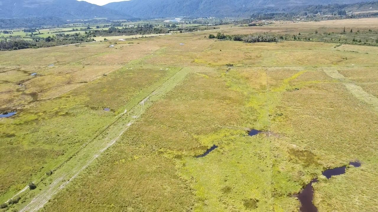
Total area approximately 117.5746 hectares bareland, with the majority effective, currently used for dairy support.
Land is heavier Pakihi with a strong gravel base underneath suitable for development.
Prime location on an elevated terrace, no flood issues, situated on the approach to the township of Westport.
Formed access is off State Highway 67 to the elevated terrace, huge potential to develop and get the property performing to a high standard either as an intensive dry stock unit/dairy support, your choice.
For further information, contact the Vendor's Sole Agent, Martin Jack.
Land is heavier Pakihi with a strong gravel base underneath suitable for development.
Prime location on an elevated terrace, no flood issues, situated on the approach to the township of Westport.
Formed access is off State Highway 67 to the elevated terrace, huge potential to develop and get the property performing to a high standard either as an intensive dry stock unit/dairy support, your choice.
For further information, contact the Vendor's Sole Agent, Martin Jack.
Explore the area
School catchments
- Westport South School Full primary Years 1-8 State 1.4km
- St Canice's School (Westport) Full primary Years 1-8 State integrated 1.7km
- Buller High School Secondary Years 9-15 State 2.4km
- Westport North School Full primary Years 1-8 State 2.5km
- Granity School Full primary Years 1-8 State 26.4km
- Reefton Area School Composite Years 1-15 State 44.6km
- Sacred Heart School (Reefton) Full primary Years 1-8 State integrated 45.1km
- Barrytown School Full primary Years 1-8 State 57.6km
- Murchison Area School Composite Years 1-15 State 61.0km
- Awahono School - Grey Valley Full primary Years 1-8 State 64.7km
- Maruia School Full primary Years 1-8 State 69.9km
- Karamea Area School Composite Years 1-15 State 72.2km
- Runanga School Full primary Years 1-8 State 75.7km
- Paparoa Range School Full primary Years 1-8 State 79.6km
- Cobden School Full primary Years 1-8 State 81.2km
- John Paul II High School Secondary Years 9-15 State integrated 82.4km
- St Patrick's School (Greymouth) Full primary Years 1-8 State integrated 82.4km
- Greymouth High School Secondary Years 9-15 State 84.0km
- Gloriavale Christian School Composite Years 1-15 Private 93.7km
- Tapawera Area School Composite Years 1-15 State 110.6km
- Westland High School Secondary Years 7-15 State 117.4km
- Motueka High School Secondary Years 9-15 State 138.2km
- TKKM o Tuia te Matangi Composite Years 1-15 State 141.4km
- Waimea College Secondary Years 9-15 State 141.8km
- Garin College Secondary Years 9-15 State integrated 142.5km
- Golden Bay High School Secondary Years 7-15 State 144.0km
- Nayland College Secondary Years 9-15 State 145.8km
Nearest schools, measured in a straight line from the property. Provided as a guide only; check enrolment zones and eligibility with the school. School data © Ministry of Education, licensed under CC BY 4.0.
Find out how much home loan repayments will be
It’s important to understand repayment amounts before you apply for a home loan. A Loan Market broker can compare over 100 lenders to find the right loan for you. Use the Loan Market calculator to get a better indication of repayments.
Loan Market Pty Ltd | Australian Credit Licence 390222. All interest rates stated must include "p.a." and the relevant Comparison Rate in full.
Photos
Contact Martin Jack
Contact Martin Jack

Martin Jack
0 State Highway 67, Buller Road, Westport 7825
Request a callback
Martin Jack
0 State Highway 67, Buller Road, Westport 7825